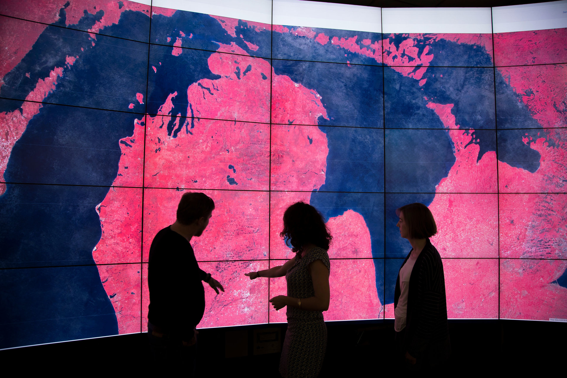
Stanford Doerr School of Sustainability researchers gain early access to Google Earth Engine
A new library resource makes Google Earth Engine’s 70+ petabyte Data Catalog of Earth, climate, and social data immediately available to the school's researchers in a platform specifically designed for enabling research at a global scale.
Stanford Libraries have granted students, faculty, and researchers of the Stanford Doerr School of Sustainability access to Google Earth Engine. The browser-based spatial data science platform combines a multi-petabyte catalog of satellite imagery and geospatial datasets with planetary-scale analysis capabilities. The Stanford Geospatial Center, which is part of Stanford Libraries’ Research Data Services division, established the first university library license with Google’s Earth Outreach Team and is opening initial access to affiliates of the school before launching broader access across campus.
“Access to Earth observation, climate data, and more importantly our ability to manage, synthesize, and analyze those data will be a critical resource for researchers at Stanford, especially within the Stanford Doerr School of Sustainability,” said Stace Maples, head of the Stanford Geospatial Center.
This new library resource makes Google Earth Engine’s 70+ petabyte Data Catalog of Earth, climate, and social data immediately available in a platform specifically designed for enabling research at a global scale.
“Google Earth Engine’s Data Catalog is unparalleled in its comprehensive cataloging and preprocessing of more that 600 authoritative, public domain Earth observation datasets,” said Maples, who facilitated the agreement with the Earth Outreach Team at Google. According to Maples, Landsat’s entire 50-year back catalog of multispectral imaging of Earth and near real-time updated FIRMS: Fire Information for Resource Management System data are examples of the types of data in the Earth Engine catalog that can be explored by simply using a browser.
The Stanford Geospatial Center is available to assist students and scholars with maximizing the potential of pairing Google Earth Engine’s Data Catalog with the processing power of Google’s data centers. “Earth Engine’s Javascript Code Editor ‘sandbox’ provides new users with the ability to quickly familiarize themselves with Earth observation data and how to use code to apply the platform’s powerful algorithmic tools at scales not possible before,” said Maples.
“Users with access to Google Cloud Platform (GCP) will find that the Earth Engine Python API provides users the ability to expand their use of Earth Engine and combine it with other powerful software libraries, while the new REST API allows developers to incorporate the power of Earth Engine into their own web-based applications.”
Maples also shares that “users with access to GCP resources, through their Stanford credentials, will find it easy to switch to the GCP-backed version of Google Earth Engine, in order to leverage the full potential of the platform, when combined with other tools in the GCP ecosystem.” Research Data Services at the Libraries offers free workshops on Python and other programming languages for Stanford students looking to hone their skills in these and other technical areas.
Students and faculty of the Stanford Doerr School of Sustainability can login to Google Earth Engine using their SUNet ID credentials and importing the Geospatial Center’s sample scripts to begin exploring. In addition to 70+ petabytes of public domain data, new users will find a Git-enabled private script repository for saving and sharing their code and a 250GB “assets” bucket, where their own data can be stored for use in Google Earth Engine. The Geospatial Center also has a self-paced Google Earth Engine 101 Workshop, which includes additional information and guidance for beginning users. Contact the Libraries’ Stanford Geospatial Center for additional information.
Explore More
-
The Stanford Forum on the Science of Energy Transition brought together scientific experts, technology innovators, and industry leaders to explore practical pathways to a decarbonized future.
-
A unique hands-on class teaches Stanford Law School students how to work with early-stage companies that have the potential to move the needle on climate and sustainability.
-
The first group of scholars supported under the new Sustainability Accelerator Fellowship program will focus on the challenge of removing billions of tons of greenhouse gases annually from Earth’s atmosphere by the middle of this century.


